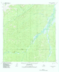
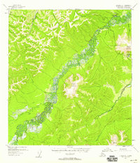
1954 Map of Iditarod C-2
USGS Topo · Published 1988About this map
The Takotna River meanders through this interior Alaska landscape, defining a complex drainage system as it appeared in the mid-1950s. The terrain is marked by prominent elevations such as Wolf Mountain and Sugarloaf Mountain, which rise above a network of waterways including Big Walden Fork and Little Walden Fork. This survey documents a critical seasonal transit network, distinguishing between a Summer Trail and a Winter Trail, reflecting the necessity of different routes as the muskeg and rivers freeze and thaw. A solitary Cabin situated along the river indicates the sparse, resource-driven settlement pattern of the era. The mapping also captures numerous tributaries like Fourth of July Creek and Bonnie Creek, providing a detailed view of the hydrologic landscape before later 20th-century shifts in wilderness management.
Find a feature on this map
15 named features on this map. Tap any name to fly to it.
Don’t see what you’re looking for? This feature index may not catch every label — zoom into the map to look around manually.
Map Details
Editions of this 1954 Iditarod C-2 Map
4 editions found
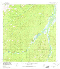
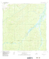
Other maps of this area

1951 · Iditarod
USGS Topo · 1:250,000

1954 · Iditarod B-1
USGS Topo · 1:63,360

1954 · Iditarod B-2
USGS Topo · 1:63,360

1954 · Iditarod C-3
USGS Topo · 1:63,360

1954 · Iditarod B-3
USGS Topo · 1:63,360

1954 · Iditarod C-2
USGS Topo · 1:63,360

1954 · Iditarod D-2
USGS Topo · 1:63,360

1954 · Iditarod D-3
USGS Topo · 1:63,360
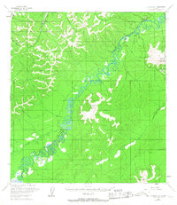
1954 · Iditarod D-1
USGS Topo · 1:63,360
1955 · Iditarod D-1
USGS Topo · 1:63,360