
1954 Map of Iditarod B-2
USGS Topo · Published 1964About this map
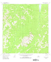
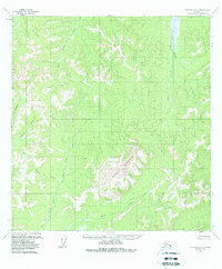
Granite Mountain dominates the central landscape of this interior Alaska survey, rising sharply above a network of drainages in the Yukon-Koyukuk region. Recorded in the mid-1950s using photogrammetric methods from aerial photography, the terrain is defined by a complex watershed system including the Big Fork Waldren Fork and Little Waldren Fork to the north. To the west and south, the land slopes toward Homestake Creek and Granite Creek, feeding into the East Fork Little George River. The lack of roads or established settlements on the map reflects the wilderness character of the Iditarod district during this era, where the only named landmarks are the primary watercourses and the high ground of the Moose Creek valley. This map provides a precise view of the topography before significant modern development, emphasizing the natural corridors used by early travelers and miners in the territory.
Find a feature on this map
7 named features on this map. Tap any name to fly to it.
Don’t see what you’re looking for? This feature index may not catch every label — zoom into the map to look around manually.
Map Details
Editions of this 1954 Iditarod B-2 Map
3 editions found
Other maps of this area

1951 · Iditarod
USGS Topo · 1:250,000

1954 · Iditarod B-1
USGS Topo · 1:63,360

1954 · Iditarod A-1
USGS Topo · 1:63,360

1954 · Iditarod A-3
USGS Topo · 1:63,360

1954 · Iditarod A-2
USGS Topo · 1:63,360

1954 · Iditarod C-3
USGS Topo · 1:63,360

1954 · Iditarod B-3
USGS Topo · 1:63,360

1954 · Iditarod C-2
USGS Topo · 1:63,360
1956 · Iditarod C-1
USGS Topo · 1:63,360

1956 · Iditarod
USGS Topo · 1:250,000