
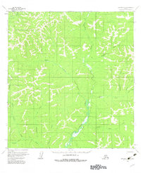
1954 Map of Iditarod B-3
USGS Topo · Published 1964About this map
George River and its intricate network of tributaries dominate this interior Alaskan landscape in the mid-1950s. The drainage system, including Eldorado Creek and Beaver Creek, reveals a wilderness oriented around seasonal movement and small-scale resource exploration. A single Cabin stands near the confluence of the river and Little Moose Creek, representing a lonely waypoint in a region defined by its lack of permanent settlements.
Find a feature on this map
16 named features on this map. Tap any name to fly to it.
Don’t see what you’re looking for? This feature index may not catch every label — zoom into the map to look around manually.
Map Details
Editions of this 1954 Iditarod B-3 Map
3 editions found
Other maps of this area

1951 · Iditarod
USGS Topo · 1:250,000

1954 · Iditarod C-4
USGS Topo · 1:63,360

1954 · Iditarod A-4
USGS Topo · 1:63,360

1954 · Iditarod B-2
USGS Topo · 1:63,360

1954 · Iditarod A-3
USGS Topo · 1:63,360

1954 · Iditarod A-2
USGS Topo · 1:63,360

1954 · Iditarod C-3
USGS Topo · 1:63,360

1954 · Iditarod C-2
USGS Topo · 1:63,360

1954 · Iditarod B-4
USGS Topo · 1:63,360

1956 · Iditarod
USGS Topo · 1:250,000