
1954 Map of Iditarod C-2
USGS Topo · Published 1964About this map
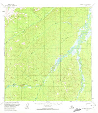
The Takotna River meanders through this interior Alaska landscape, defining a broad valley of wetlands and low-relief terrain before the ground rises toward the southern uplands. In the southwest, Wolf Mountain and Sugarloaf Mountain stand as prominent landmarks above the drainage of Moore Creek and the Little Waldren Fork. This mid-1950s survey captures a network of seasonal routes, including a Summer Trail and a Winter Trail that cut through the north, indicating the region's reliance on weather-dependent travel long before modern road development. A lone Cabin situated near the headwaters of the Little Waldren Fork offers a rare marker of human habitation in this wilderness, while numerous drainages like Fourth of July Creek and Bonnie Creek suggest a landscape primarily shaped by its intricate hydrology.
Find a feature on this map
14 named features on this map. Tap any name to fly to it.
Don’t see what you’re looking for? This feature index may not catch every label — zoom into the map to look around manually.
Map Details
Editions of this 1954 Iditarod C-2 Map
4 editions found
Other maps of this area

1951 · Iditarod
USGS Topo · 1:250,000

1954 · Iditarod B-1
USGS Topo · 1:63,360

1954 · Iditarod B-2
USGS Topo · 1:63,360

1954 · Iditarod C-3
USGS Topo · 1:63,360

1954 · Iditarod B-3
USGS Topo · 1:63,360

1954 · Iditarod D-2
USGS Topo · 1:63,360

1954 · Iditarod D-3
USGS Topo · 1:63,360
1954 · Iditarod D-1
USGS Topo · 1:63,360
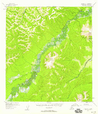
1955 · Iditarod D-1
USGS Topo · 1:63,360
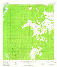
1956 · Iditarod C-1
USGS Topo · 1:63,360