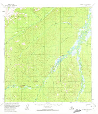
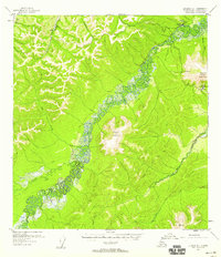
1954 Map of Iditarod C-2
USGS Topo · Published 1972About this map
The Takotna River meanders across this interior landscape, defining a complex drainage network that includes the Big River and the Little Waldren Fork. These waterways served as vital seasonal corridors in a region where overland travel was dictated by the environment, as shown by the network of Summer Trail and Winter Trail segments. These routes connected isolated points of human activity, such as a lone Cabin located along the riverbanks, to the broader territorial interior.
Find a feature on this map
17 named features on this map. Tap any name to fly to it.
Don’t see what you’re looking for? This feature index may not catch every label — zoom into the map to look around manually.
Map Details
Editions of this 1954 Iditarod C-2 Map
4 editions found
Other maps of this area

1951 · Iditarod
USGS Topo · 1:250,000

1954 · Iditarod B-1
USGS Topo · 1:63,360

1954 · Iditarod B-2
USGS Topo · 1:63,360

1954 · Iditarod C-3
USGS Topo · 1:63,360

1954 · Iditarod B-3
USGS Topo · 1:63,360

1954 · Iditarod C-2
USGS Topo · 1:63,360

1954 · Iditarod D-2
USGS Topo · 1:63,360

1954 · Iditarod D-3
USGS Topo · 1:63,360
1954 · Iditarod D-1
USGS Topo · 1:63,360
1955 · Iditarod D-1
USGS Topo · 1:63,360