
1953 Map of Norton Bay C-2
USGS Topo · Published 1961About this map
Shaktolik River dominates the northern reaches of this Alaskan interior landscape, carving a wide path through the unsurveyed and unmarked lands of the Kateel River Meridian. Mapped during the mid-twentieth century using photogrammetric methods from aerial surveys, this quadrangle reveals a land defined by its drainages rather than permanent settlements. Tributaries such as Egavik Creek and Brass Creek flow through the varied terrain, while local heights like Debauch Mtn and Swifty provide the primary geographic landmarks for the region. The lack of roads or established trails at the time of the survey emphasizes the reliance on these natural waterways for movement. Because this area was not field checked, the map captures a primary state of the wilderness as interpreted from photography taken between 1952 and 1957, documenting the topography before significant modern human impact.
Find a feature on this map
6 named features on this map. Tap any name to fly to it.
Don’t see what you’re looking for? This feature index may not catch every label — zoom into the map to look around manually.
Map Details
Editions of this 1953 Norton Bay C-2 Map
This is the sole edition of this map. No revisions or reprints were ever made.
Other maps of this area

1948 · Norton Bay
USGS Topo · 1:250,000

1950 · Norton Bay B-3
USGS Topo · 1:63,360

1950 · Norton Bay C-3
USGS Topo · 1:63,360

1950 · Norton Bay D-3
USGS Topo · 1:63,360

1951 · Norton Bay
USGS Topo · 1:250,000

1952 · Norton Bay B-1
USGS Topo · 1:63,360
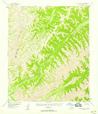
1952 · Norton Bay C-1
USGS Topo · 1:63,360
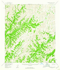
1953 · Norton Bay B-2
USGS Topo · 1:63,360

1954 · Norton Bay D-2
USGS Topo · 1:63,360
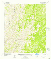
1955 · Norton Bay D-1
USGS Topo · 1:63,360