
1952 Map of Norton Bay B-1
USGS Topo · Published 1957About this map
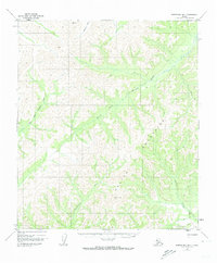
South Fork Nulato River and the high headwaters of the Unalakleet River dominate this interior Alaskan landscape as it was documented in the early 1950s. The topography here is defined by high mountainous ridges that separate major drainage basins, forming a natural barrier between the coastal regions and the interior river valleys. The map documents a critical transportation link across this high ground via the Kaltag Sled Trail, which follows a known Portage route used for winter travel. This specific area serves as a jurisdictional boundary, showing the division between the Second Judicial Division and the Fourth Judicial Division. The surveyor's notes indicate that while the landforms were captured through aerial photography in 1952, the terrain was not field checked, reflecting the challenges of mapping this remote subarctic region.
Find a feature on this map
9 named features on this map. Tap any name to fly to it.
Don’t see what you’re looking for? This feature index may not catch every label — zoom into the map to look around manually.
Map Details
Editions of this 1952 Norton Bay B-1 Map
2 editions found
Other maps of this area

1945 · Nulato
USGS Topo · 1:250,000

1948 · Norton Bay
USGS Topo · 1:250,000

1951 · Nulato
USGS Topo · 1:250,000

1951 · Norton Bay
USGS Topo · 1:250,000

1952 · Nulato B-6
USGS Topo · 1:63,360

1952 · Nulato C-6
USGS Topo · 1:63,360

1952 · Nulato
USGS Topo · 1:250,000

1952 · Nulato A-6
USGS Topo · 1:63,360
1952 · Norton Bay C-1
USGS Topo · 1:63,360
1953 · Norton Bay B-2
USGS Topo · 1:63,360