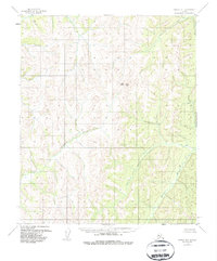
1954 Map of Candle A-1
USGS Topo · Published 1987About this map
Traverse Peak stands as the primary landmark in this remote Alaskan interior landscape, where the headwaters of several critical drainage systems converge. This mid-century survey illustrates a period before significant modern infrastructure reached this portion of the Yukon-Koyukuk region, showing a wilderness defined entirely by its natural hydrology. The Kateel River flows through the eastern portion of the quadrangle, while the Ungalik River and Caribou Creek carve distinct paths through the western and central elevations. The topographic detail captured by photogrammetric methods between 1952 and 1955 provides an essential record of the natural terrain and watercourses in their mid-century state.
Find a feature on this map
4 named features on this map. Tap any name to fly to it.
Don’t see what you’re looking for? This feature index may not catch every label — zoom into the map to look around manually.
Map Details
Editions of this 1954 Candle A-1 Map
3 editions found
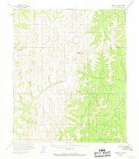
Other maps of this area

1945 · Nulato
USGS Topo · 1:250,000

1948 · Norton Bay
USGS Topo · 1:250,000

1951 · Candle
USGS Topo · 1:250,000

1951 · Nulato
USGS Topo · 1:250,000

1951 · Norton Bay
USGS Topo · 1:250,000

1951 · Kateel River
USGS Topo · 1:250,000

1952 · Nulato
USGS Topo · 1:250,000

1954 · Candle A-2
USGS Topo · 1:63,360

1954 · Candle A-1
USGS Topo · 1:63,360

1954 · Norton Bay D-2
USGS Topo · 1:63,360