
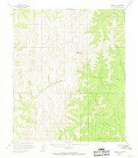
1954 Map of Candle A-1
USGS Topo · Published 1959About this map
Ungalik River meanders across the central landscape of this western Alaska interior survey, joined by several tributaries including Caribou Creek as the waters flow through a complex system of drainage basins. The topography is defined by the high ground between the Yukon and Koyukuk systems, featuring prominent landmarks such as Traverse Peak and VABM High Peak 2838. To the east, the Kateel River creates a distinct corridor through the hills. This 1954 data, captured by photogrammetric methods from aerial photographs, illustrates a landscape primarily defined by its hydrology and elevations rather than human infrastructure, as the sheet notes no roads or trails existed in the area at the time of field annotation.
Find a feature on this map
5 named features on this map. Tap any name to fly to it.
Don’t see what you’re looking for? This feature index may not catch every label — zoom into the map to look around manually.
Map Details
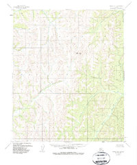
Editions of this 1954 Candle A-1 Map
3 editions found
Other maps of this area

1945 · Nulato
USGS Topo · 1:250,000

1948 · Norton Bay
USGS Topo · 1:250,000

1951 · Candle
USGS Topo · 1:250,000

1951 · Nulato
USGS Topo · 1:250,000

1951 · Norton Bay
USGS Topo · 1:250,000

1951 · Kateel River
USGS Topo · 1:250,000

1952 · Nulato
USGS Topo · 1:250,000

1954 · Candle A-2
USGS Topo · 1:63,360

1954 · Norton Bay D-2
USGS Topo · 1:63,360

1954 · Candle B-2
USGS Topo · 1:63,360