
1956 Map of Charley River C-2
USGS Topo · Published 1960About this map
The Kandik (Charley Creek) flows through the southeastern portion of this terrain, marking a drainage system that defines much of the local topography. This 1956 survey, based on aerial photography from the mid-1950s, reveals a landscape dominated by high ridges and intricate water networks in a region where land lines remained unsurveyed and unmarked. In the northwestern corner, the Black River winds across the map, while Moose Creek cuts through the southwestern quadrant. Elevation is documented at significant peaks like VABM 2970 Bly, providing a critical data point for the Fairbanks Meridian. The lack of roads or established trails on this sheet emphasizes the undeveloped nature of this corner of Alaska during the post-war era, where movement was primarily dictated by river valleys and high-altitude survey points.
Find a feature on this map
4 named features on this map. Tap any name to fly to it.
Don’t see what you’re looking for? This feature index may not catch every label — zoom into the map to look around manually.
Map Details
Editions of this 1956 Charley River C-2 Map
This is the sole edition of this map. No revisions or reprints were ever made.
Other maps of this area

1951 · Charley River
USGS Topo · 1:250,000

1956 · Charley River D-3
USGS Topo · 1:63,360

1956 · Charley River B-3
USGS Topo · 1:63,360
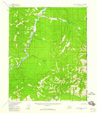
1956 · Charley River C-1
USGS Topo · 1:63,360
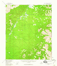
1956 · Charley River B-1
USGS Topo · 1:63,360

1956 · Charley River B-2
USGS Topo · 1:63,360
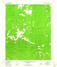
1956 · Charley River C-3
USGS Topo · 1:63,360

1956 · Charley River D-2
USGS Topo · 1:63,360
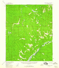
1956 · Charley River D-1
USGS Topo · 1:63,360

1956 · Charley River
USGS Topo · 1:250,000