
1956 Map of Charley River
USGS Topo · Published 1961About this map
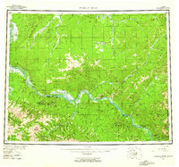
The Yukon River carves a massive corridor through this interior Alaskan wilderness, serving as the primary artery for travel and seasonal industry during the mid-1950s. This survey, compiled from 1956 data, documents the sparse human presence along the riverbanks, including the Woodchopper Roadhouse and scattered shelters like Mcgregor Cabin and Slaven Cabin. The map captures a landscape in transition where once-active river settlements like Nation (Aban'd) and Millers Camp (Aban'd) are noted as abandoned, reflecting the shifting economic patterns of the northern frontier.
Find a feature on this map
71 named features on this map. Tap any name to fly to it.
Don’t see what you’re looking for? This feature index may not catch every label — zoom into the map to look around manually.
Map Details
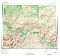
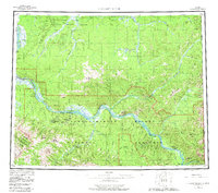
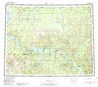
Editions of this 1956 Charley River Map
5 editions found
Other maps of this area

1899 · Fortymile
USGS Topo · 1:250,000

1950 · Big Delta
USGS Topo · 1:250,000

1951 · Big Delta
USGS Topo · 1:250,000

1951 · Fort Yukon
USGS Topo · 1:250,000

1951 · Charley River
USGS Topo · 1:250,000

1951 · Eagle
USGS Topo · 1:250,000

1951 · Black River
USGS Topo · 1:250,000

1951 · Circle
USGS Topo · 1:250,000

1955 · Circle A-1
USGS Topo · 1:63,360

1955 · Circle B-1
USGS Topo · 1:63,360