
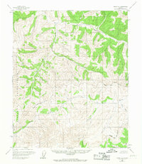
1955 Map of Circle A-1
USGS Topo · Published 1959About this map
The Salcha River drainage and the headwaters of the South Fork Birch Creek define this interior Alaskan landscape during the mid-1950s. The terrain is characterized by a complex network of high-elevation drainages and ridges, where several isolated Cabin sites serve as the only evidence of human presence in this wilderness. These structures, situated along major watercourses, reflect the era's reliance on river systems for seasonal trapping or prospecting access before widespread road development reached the region. Notable topographic features include the deep incisions of Puzzle Gulch and the winding paths of Big Windy Creek and Caribou Creek. The absence of named roads or established settlements highlights the isolated nature of the Circle A-1 quadrangle, mapping a period when the Alaskan interior remained primarily accessible only by air or water.
Find a feature on this map
9 named features on this map. Tap any name to fly to it.
Don’t see what you’re looking for? This feature index may not catch every label — zoom into the map to look around manually.
Map Details
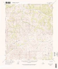
Editions of this 1955 Circle A-1 Map
3 editions found
Other maps of this area

1950 · Big Delta
USGS Topo · 1:250,000

1951 · Big Delta
USGS Topo · 1:250,000

1951 · Charley River
USGS Topo · 1:250,000

1951 · Eagle
USGS Topo · 1:250,000

1951 · Circle
USGS Topo · 1:250,000

1955 · Circle A-2
USGS Topo · 1:63,360

1955 · Circle B-1
USGS Topo · 1:63,360

1955 · Circle B-2
USGS Topo · 1:63,360

1955 · Circle
USGS Topo · 1:250,000

1956 · Charley River B-6
USGS Topo · 1:63,360