
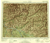
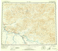
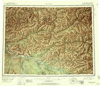
1951 Map of Big Delta
USGS Topo · Published 1951About this map
Tanana River and Delta River converge at a strategic hub of mid-century interior Alaskan transportation. This 1951 reconnaissance survey captures the interior during the post-war buildup, documenting the junction of the Richardson Highway and the Alaska Highway. Early roadhouses and traveler accommodations such as Aurora Lodge, Silver Fox Lodge, and Shaw Creek Lodge dot the main routes, serving as vital waypoints through the terrain.
Find a feature on this map
109 named features on this map. Tap any name to fly to it.
Don’t see what you’re looking for? This feature index may not catch every label — zoom into the map to look around manually.
Map Details
Editions of this 1951 Big Delta Map
4 editions found
Other maps of this area

1945 · Livengood
USGS Topo · 1:250,000

1949 · Fairbanks D-1
USGS Topo · 1:62,500

1949 · Big Delta B-5
USGS Topo · 1:63,360

1949 · Big Delta B-6
USGS Topo · 1:63,360

1949 · Fairbanks C-1
USGS Topo · 1:63,360

1949 · Big Delta C-6
USGS Topo · 1:63,360

1949 · Tanacross
USGS Topo · 1:250,000

1949 · Big Delta A-6
USGS Topo · 1:63,360

1949 · Fairbanks A-1
USGS Topo · 1:63,360

1949 · Healy D-1
USGS Topo · 1:63,360