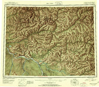
1951 Map of Big Delta
USGS Topo · Published 1951About this map
The Tanana River serves as the central artery for this interior Alaskan landscape, which at mid-century was defined by a mix of military installations and sparse road-side settlements. The confluence of the Tanana and Delta River anchors the community of Big Delta, which is connected to the wider territory by the Richardson Highway and the Alaska Hwy. This road network supported a series of small outposts and lodges, including Aurora Lodge, Silver Fox Lodge, and Shaw Creek Lodge, catering to travelers and residents alike in the years following World War II. The map also records the significant presence of the Ladd Air Force Base Bombing and Gunnery Range, illustrating the strategic importance of the region during the early Cold War. Beyond the river flats and highways, the interior is a complex system of drainages, from the Chena River to the Goodpaster River, punctuated by unique landmarks like The Splits and The Butte.
Find a feature on this map
108 named features on this map. Tap any name to fly to it.
Don’t see what you’re looking for? This feature index may not catch every label — zoom into the map to look around manually.
Map Details
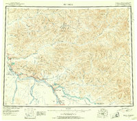
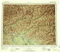
Editions of this 1951 Big Delta Map
4 editions found

Other maps of this area

1945 · Livengood
USGS Topo · 1:250,000

1949 · Fairbanks D-1
USGS Topo · 1:62,500

1949 · Big Delta B-5
USGS Topo · 1:63,360

1949 · Big Delta B-6
USGS Topo · 1:63,360

1949 · Fairbanks C-1
USGS Topo · 1:63,360

1949 · Big Delta C-6
USGS Topo · 1:63,360

1949 · Tanacross
USGS Topo · 1:250,000

1949 · Big Delta A-6
USGS Topo · 1:63,360

1949 · Fairbanks A-1
USGS Topo · 1:63,360

1949 · Healy D-1
USGS Topo · 1:63,360