
1955 Map of Circle B-1
USGS Topo · Published 1959About this map
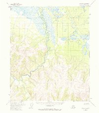
Birch Creek dominates the interior of this Alaskan landscape as it winds through a vast network of wetlands and mountain slopes. Recorded during the mid-1950s, the terrain shows very little human footprint, defined instead by the path of the water from the South Fork and Big Windy Cr. Remote outposts are noted simply as Cabins or a lone Cabin along the riverbanks, representing the temporary shelters of trappers, hunters, or prospectors in the Yukon-Koyukuk region. To the northwest, Medicine Lake sits at the edge of a wide, marshy basin, contrasting with the high-elevation prominence named Beauty. The map provides a critical look at the complex drainage patterns and topographic elevations before later environmental shifts, capturing the primitive state of the region's bush country.
Find a feature on this map
7 named features on this map. Tap any name to fly to it.
Don’t see what you’re looking for? This feature index may not catch every label — zoom into the map to look around manually.
Map Details
Editions of this 1955 Circle B-1 Map
4 editions found
Other maps of this area

1951 · Charley River
USGS Topo · 1:250,000

1951 · Circle
USGS Topo · 1:250,000

1955 · Circle A-2
USGS Topo · 1:63,360

1955 · Circle A-1
USGS Topo · 1:63,360

1955 · Circle C-2
USGS Topo · 1:63,360

1955 · Circle B-2
USGS Topo · 1:63,360

1955 · Circle C-1
USGS Topo · 1:63,360

1955 · Circle
USGS Topo · 1:250,000

1956 · Charley River C-6
USGS Topo · 1:63,360

1956 · Charley River B-6
USGS Topo · 1:63,360