
1955 Map of Circle C-1
USGS Topo · Published 1959About this map
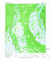
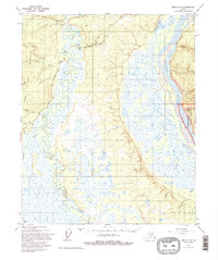
Twelvemile House (Aban'd) stands as a lonely marker of early Alaskan travel along the Steese Highway, a critical interior route in the mid-1950s. This survey illustrates the intricate transition from the high ridges of the Crazy Mountains in the west to the expansive wetlands and braided channels of the eastern lowlands. The landscape is dominated by the meandering course of Birch Creek and its many oxbows, which wind through a mosaic of marshland before reaching the massive corridor of the Yukon River at the northeastern corner of the map.
Find a feature on this map
11 named features on this map. Tap any name to fly to it.
Don’t see what you’re looking for? This feature index may not catch every label — zoom into the map to look around manually.
Map Details
Editions of this 1955 Circle C-1 Map
3 editions found
Other maps of this area

1951 · Charley River
USGS Topo · 1:250,000

1951 · Circle
USGS Topo · 1:250,000

1952 · Circle D-2
USGS Topo · 1:63,360

1955 · Circle B-1
USGS Topo · 1:63,360

1955 · Circle C-2
USGS Topo · 1:63,360

1955 · Circle D-1
USGS Topo · 1:63,360

1955 · Circle B-2
USGS Topo · 1:63,360

1955 · Circle
USGS Topo · 1:250,000

1956 · Charley River C-6
USGS Topo · 1:63,360

1956 · Charley River B-6
USGS Topo · 1:63,360