
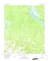
1956 Map of Charley River B-6
USGS Topo · Published 1960About this map
The Yukon River cuts a wide, braided path across the northeastern corner of this 1956 survey, dominated by a landscape of drainage systems and elevation markers. Rising sharply from the riverbank, Takoma Bluff provides a distinctive vertical landmark overlooking the waterway. South of the main river, the terrain is defined by a series of parallel watercourses flowing generally north, including Takoma Creek, Eureka Creek, and the more southern Webber Creek.
Find a feature on this map
12 named features on this map. Tap any name to fly to it.
Don’t see what you’re looking for? This feature index may not catch every label — zoom into the map to look around manually.
Map Details
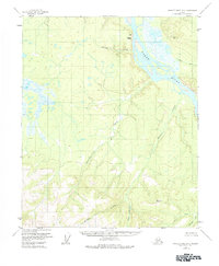
Editions of this 1956 Charley River B-6 Map
3 editions found
Other maps of this area

1951 · Charley River
USGS Topo · 1:250,000

1951 · Circle
USGS Topo · 1:250,000

1955 · Circle A-1
USGS Topo · 1:63,360

1955 · Circle B-1
USGS Topo · 1:63,360

1955 · Circle C-1
USGS Topo · 1:63,360

1955 · Circle
USGS Topo · 1:250,000

1956 · Charley River C-5
USGS Topo · 1:63,360

1956 · Charley River C-6
USGS Topo · 1:63,360

1956 · Charley River A-5
USGS Topo · 1:63,360

1956 · Charley River B-5
USGS Topo · 1:63,360