
1956 Map of Charley River C-5
USGS Topo · Published 1960About this map
Little Black River dominates this interior Alaskan landscape, shown here as it wound through the Yukon-Koyukuk region during the mid-1950s. The survey, compiled from aerial photography taken in 1951 and 1954, reveals a complex network of wetlands and oxbow lakes surrounding the river's path. This detailed topography highlights the intricate drainage patterns of the valley floor, contrasted against the unnamed ridges and peaks that define the surrounding high ground. Because the area remained largely unsurveyed on the ground at the time of publication, the map relies on these photogrammetric methods to document the wilderness before modern infrastructure or major settlement reached this portion of the Charley River quadrangle.
Find a feature on this map
1 named feature on this map. Tap any name to fly to it.
Don’t see what you’re looking for? This feature index may not catch every label — zoom into the map to look around manually.
Map Details
Editions of this 1956 Charley River C-5 Map
2 editions found
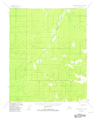
Other maps of this area

1951 · Charley River
USGS Topo · 1:250,000
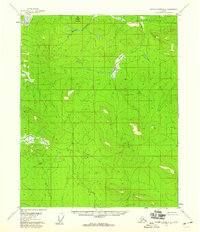
1956 · Charley River D-4
USGS Topo · 1:63,360
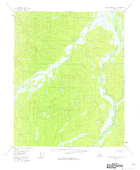
1956 · Charley River D-5
USGS Topo · 1:63,360

1956 · Charley River C-6
USGS Topo · 1:63,360

1956 · Charley River B-6
USGS Topo · 1:63,360

1956 · Charley River B-5
USGS Topo · 1:63,360

1956 · Charley River C-4
USGS Topo · 1:63,360
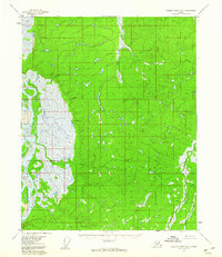
1956 · Charley River D-6
USGS Topo · 1:63,360

1956 · Charley River B-4
USGS Topo · 1:63,360

1956 · Charley River
USGS Topo · 1:250,000