
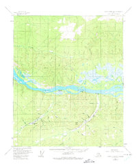
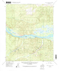
1956 Map of Charley River B-5
USGS Topo · Published 1960About this map
The Yukon River carves a central path through this wilderness landscape, acting as the primary artery for travel and trade in the mid-1950s. Along its banks, the remnants of a once-active river corridor are visible at the Woodchopper Roadhouse (Aband) and isolated outposts like McGregor Cabin and Slaven Cabin. The interior is defined by a dense network of watercourses and mining activity, with a notable Placer Mine situated near the headwaters of Coal Creek and Cheese Creek.
Find a feature on this map
31 named features on this map. Tap any name to fly to it.
Don’t see what you’re looking for? This feature index may not catch every label — zoom into the map to look around manually.
Map Details
Editions of this 1956 Charley River B-5 Map
3 editions found
Other maps of this area

1951 · Charley River
USGS Topo · 1:250,000

1956 · Charley River C-5
USGS Topo · 1:63,360

1956 · Charley River C-6
USGS Topo · 1:63,360

1956 · Charley River B-6
USGS Topo · 1:63,360

1956 · Charley River A-5
USGS Topo · 1:63,360

1956 · Charley River A-4
USGS Topo · 1:63,360

1956 · Charley River A-6
USGS Topo · 1:63,360

1956 · Charley River C-4
USGS Topo · 1:63,360

1956 · Charley River B-4
USGS Topo · 1:63,360

1956 · Charley River
USGS Topo · 1:250,000