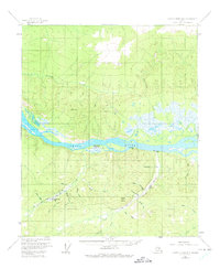
1956 Map of Charley River B-5
USGS Topo · Published 1975About this map
Yukon River dominates this Alaskan landscape, serving as the primary corridor for travel and trade in a region defined by remote outposts and mining activity. By the mid-1950s, the Woodhopper Roadhouse (Aband) is already noted as a relic of an earlier era, while active habitation persists at sites like McGregor Cabin and Slaven Cabin. The terrain south of the river is heavily marked by the search for minerals, particularly along the drainage of Coal Creek and Woodhopper Creek, where several Placer Mine operations are identified. This network of steep gulches and
Find a feature on this map
28 named features on this map. Tap any name to fly to it.
Don’t see what you’re looking for? This feature index may not catch every label — zoom into the map to look around manually.
Map Details
Editions of this 1956 Charley River B-5 Map
3 editions found
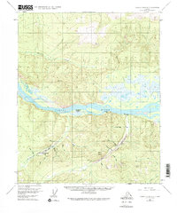
Other maps of this area

1951 · Charley River
USGS Topo · 1:250,000

1956 · Charley River C-5
USGS Topo · 1:63,360

1956 · Charley River C-6
USGS Topo · 1:63,360

1956 · Charley River B-6
USGS Topo · 1:63,360

1956 · Charley River A-5
USGS Topo · 1:63,360

1956 · Charley River A-4
USGS Topo · 1:63,360

1956 · Charley River B-5
USGS Topo · 1:63,360

1956 · Charley River A-6
USGS Topo · 1:63,360

1956 · Charley River C-4
USGS Topo · 1:63,360

1956 · Charley River B-4
USGS Topo · 1:63,360