
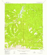
1956 Map of Charley River A-4
USGS Topo · Published 1960About this map
The Charley River dominates this interior Alaskan landscape, shown here as it was surveyed through aerial photography in the mid-1950s. The drainage pattern reveals a dense network of tributaries, many bearing names that reflect the region's prospecting history, such as Nome Stake Creek and Bonanza Creek. The terrain is defined by dramatic elevation changes, moving from the low-lying Flat areas near the main river channel to the high ridges where headwaters like Derwent Creek and Uncompahgre Creek originate.
Find a feature on this map
21 named features on this map. Tap any name to fly to it.
Don’t see what you’re looking for? This feature index may not catch every label — zoom into the map to look around manually.
Map Details
Editions of this 1956 Charley River A-4 Map
2 editions found
Other maps of this area

1951 · Charley River
USGS Topo · 1:250,000

1951 · Eagle
USGS Topo · 1:250,000

1956 · Charley River A-5
USGS Topo · 1:63,360

1956 · Charley River B-5
USGS Topo · 1:63,360

1956 · Charley River B-3
USGS Topo · 1:63,360

1956 · Charley River A-3
USGS Topo · 1:63,360

1956 · Charley River B-4
USGS Topo · 1:63,360

1956 · Charley River
USGS Topo · 1:250,000

1956 · Eagle D-3
USGS Topo · 1:63,360
1956 · Eagle D-5
USGS Topo · 1:63,360