
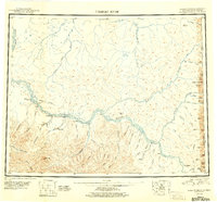
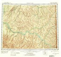
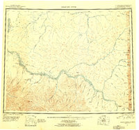
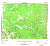
1951 Map of Charley River
USGS Topo · Published 1951About this map
The Yukon River carves a massive, braided corridor through this Alaskan interior landscape, serving as the primary artery for travel and trade between remote outposts. Along its banks, the map records the infrastructure of the early-to-mid 20th-century frontier, including several Landing Areas and small settlements like Woodchopper and Sam Creek. The geography is defined by significant tributaries such as the Charley River, Nation River, and Kandik River, which feed into the Yukon from the surrounding high country. Resource extraction and early industrial activity are evidenced by the presence of Tailings near Coal Creek and a Ditch system. Rising above the river valleys are prominent landmarks like Kathul Mtn and Twin Mtn, while the far eastern edge of the map identifies the international boundary between Alaska and Canada near the Tatonduk River.
Find a feature on this map
54 named features on this map. Tap any name to fly to it.
Don’t see what you’re looking for? This feature index may not catch every label — zoom into the map to look around manually.
Map Details
Editions of this 1951 Charley River Map
5 editions found
Other maps of this area

1899 · Fortymile
USGS Topo · 1:250,000

1950 · Big Delta
USGS Topo · 1:250,000

1951 · Big Delta
USGS Topo · 1:250,000

1951 · Fort Yukon
USGS Topo · 1:250,000

1951 · Eagle
USGS Topo · 1:250,000

1951 · Black River
USGS Topo · 1:250,000

1951 · Circle
USGS Topo · 1:250,000

1955 · Circle A-1
USGS Topo · 1:63,360

1955 · Circle B-1
USGS Topo · 1:63,360

1955 · Circle D-1
USGS Topo · 1:63,360