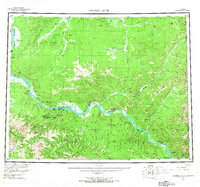
1951 Map of Charley River
USGS Topo · Published 1967About this map
The Yukon River and its major tributaries, including the Charley River and Kandik (Charley Creek) River, dominate this mid-century interior landscape along the Alaska Yukon border. This survey preserves a specific record of river-based survival and industry, featuring isolated outposts like the Woodchopper Roadhouse, Slaven Cabin, and McGregor Cabin. The mapping of a Placer Mine near Woodchopper Creek and another Placer operation on Coal Creek highlights the mineral extraction that defined the regional economy during this period. Along the eastern reaches, the settlement at Nation is already noted as abandoned, contrasting with active sites like Millers Camp near the Tatonduk River. This confluence of wilderness and seasonal industry is framed by prominent landmarks such as Kathul Mtn and the striking Takoma Bluff.
Find a feature on this map
65 named features on this map. Tap any name to fly to it.
Don’t see what you’re looking for? This feature index may not catch every label — zoom into the map to look around manually.
Map Details
Editions of this 1951 Charley River Map
5 editions found
Other maps of this area

1899 · Fortymile
USGS Topo · 1:250,000

1950 · Big Delta
USGS Topo · 1:250,000

1951 · Big Delta
USGS Topo · 1:250,000

1951 · Fort Yukon
USGS Topo · 1:250,000

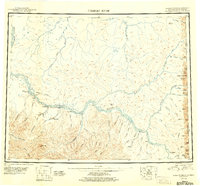
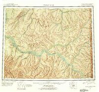
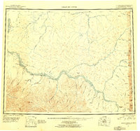
1951 · Charley River
USGS Topo · 1:250,000

1951 · Eagle
USGS Topo · 1:250,000

1951 · Black River
USGS Topo · 1:250,000

1951 · Circle
USGS Topo · 1:250,000

1955 · Circle A-1
USGS Topo · 1:63,360

1955 · Circle B-1
USGS Topo · 1:63,360