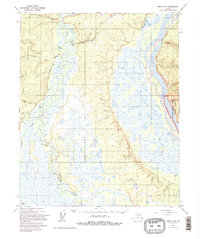
1955 Map of Circle C-1
USGS Topo · Published 1995About this map
Twelvemile House (Site) stands as a historic marker of human presence along the interior waterways, situated near the confluence of Twelvemile Creek and Birch Creek. This area of the Alaskan interior is defined by a vast complex of wetlands and meandering channels, where the high peaks of the Crazy Mountains and East Crazy Mountains drop away into the broad valley of the Yukon River. The Steese Highway skirts the western edge of these mountains, providing a lifeline through the remote landscape.
Find a feature on this map
18 named features on this map. Tap any name to fly to it.
Don’t see what you’re looking for? This feature index may not catch every label — zoom into the map to look around manually.
Map Details
Editions of this 1955 Circle C-1 Map
3 editions found
Other maps of this area

1951 · Charley River
USGS Topo · 1:250,000

1951 · Circle
USGS Topo · 1:250,000

1952 · Circle D-2
USGS Topo · 1:63,360

1955 · Circle B-1
USGS Topo · 1:63,360

1955 · Circle C-2
USGS Topo · 1:63,360

1955 · Circle D-1
USGS Topo · 1:63,360

1955 · Circle B-2
USGS Topo · 1:63,360

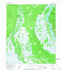
1955 · Circle C-1
USGS Topo · 1:63,360

1955 · Circle
USGS Topo · 1:250,000

1956 · Charley River C-6
USGS Topo · 1:63,360