
1952 Map of Circle D-2
USGS Topo · Published 1959About this map
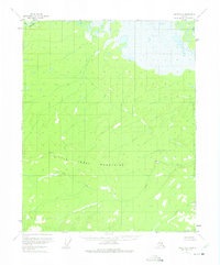
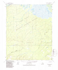
Little Crazy Mountains dominate the southern landscape of this mid-century survey, rising above a network of drainages in the Yukon-Koyukuk region. The map reveals a transition from the structured relief of the highlands to the expansive marshlands and lake-dotted terrain of the northern reaches. This wilderness character is reinforced by the near-total absence of permanent infrastructure, with only a solitary Cabin noted along a drainage leading toward the wetland flats. The hydrology of the area is defined by significant watercourses, including Preacher Cr in the northwest and Birch Cr in the northeast, while Big Creek carves a path through the central valley. This 1952 data, compiled from aerial photography, captures the interior before any roads or trails were established, documenting the natural state of the Alaskan bush during the post-war era.
Find a feature on this map
5 named features on this map. Tap any name to fly to it.
Don’t see what you’re looking for? This feature index may not catch every label — zoom into the map to look around manually.
Map Details
Editions of this 1952 Circle D-2 Map
3 editions found
Other maps of this area

1951 · Fort Yukon
USGS Topo · 1:250,000

1951 · Circle
USGS Topo · 1:250,000

1952 · Circle D-3
USGS Topo · 1:63,360

1955 · Circle C-3
USGS Topo · 1:63,360

1955 · Circle C-2
USGS Topo · 1:63,360

1955 · Circle D-1
USGS Topo · 1:63,360

1955 · Circle C-1
USGS Topo · 1:63,360

1955 · Circle
USGS Topo · 1:250,000

1956 · Fort Yukon A-2
USGS Topo · 1:63,360

1956 · Fort Yukon A-1
USGS Topo · 1:63,360