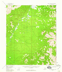
1956 Map of Charley River B-1
USGS Topo · Published 1960About this map
The Nation River dominates this remote landscape at the international boundary between Alaska and Canada in the mid-1950s. This survey records a territory defined by its hydrological network, where major arteries like Tindir Creek and Ettrain Creek intersect with smaller drainages such as Waterfall Creek and Hard Luck Creek. The topography is specifically marked by Pingos, distinctive mounds of earth-covered ice that indicate the permafrost conditions of the region.
Find a feature on this map
12 named features on this map. Tap any name to fly to it.
Don’t see what you’re looking for? This feature index may not catch every label — zoom into the map to look around manually.
Map Details
Editions of this 1956 Charley River B-1 Map
3 editions found
Other maps of this area

1951 · Charley River
USGS Topo · 1:250,000

1956 · Charley River C-2
USGS Topo · 1:63,360
1956 · Charley River C-1
USGS Topo · 1:63,360

1956 · Charley River B-2
USGS Topo · 1:63,360

1956 · Charley River A-2
USGS Topo · 1:63,360

1956 · Charley River A-1
USGS Topo · 1:63,360

1956 · Charley River
USGS Topo · 1:250,000
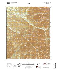
2018 · Charley River B-1 SE
USGS Topo · 1:25,000
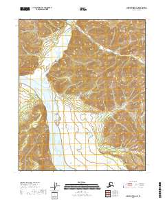
2018 · Charley River A-2 NE
USGS Topo · 1:25,000
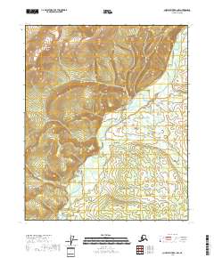
2018 · Charley River B-1 NW
USGS Topo · 1:25,000