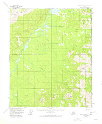
1956 Map of Charley River B-1
USGS Topo · Published 1978About this map
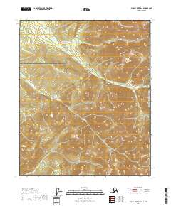
The Nation River flows through this remote stretch of the Alaska-Yukon border, carving a path between the Step Mountains and the high points of Mount Casca. Surveyed in the mid-1950s, the terrain is defined by its complex drainage network, where Waterfall Creek, Ettrain Creek, and Tindir Creek converge toward the river valley. The map documents the international boundary where the Alaska Yukon line meets the United States Canada border, a region largely unpopulated and marked only by surveyor benchmarks like VABM Step and VABM Nation. Geologic interest is found in the northern reaches, where the presence of Pingos indicates the permafrost-driven landforms characteristic of this subarctic environment. The survey reveals an untouched landscape of steep ridges and creek bottoms before modern developments reached this corner of the Southeast Fairbanks area.
Find a feature on this map
15 named features on this map. Tap any name to fly to it.
Don’t see what you’re looking for? This feature index may not catch every label — zoom into the map to look around manually.
Map Details
Editions of this 1956 Charley River B-1 Map
3 editions found
Other maps of this area

1951 · Charley River
USGS Topo · 1:250,000

1956 · Charley River C-2
USGS Topo · 1:63,360
1956 · Charley River C-1
USGS Topo · 1:63,360
1956 · Charley River B-1
USGS Topo · 1:63,360

1956 · Charley River B-2
USGS Topo · 1:63,360

1956 · Charley River A-2
USGS Topo · 1:63,360

1956 · Charley River A-1
USGS Topo · 1:63,360

1956 · Charley River
USGS Topo · 1:250,000
2018 · Charley River B-1 SE
USGS Topo · 1:25,000
2018 · Charley River A-2 NE
USGS Topo · 1:25,000