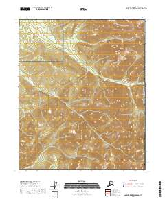
2018 Map of Charley River B-1 SE
USGS Topo · Published 2018About this map
Yukon-Charley Rivers National Preserve dominates this section of the Alaska interior, where the landscape is defined by the high elevations of the Yukon-Tanana Uplands. The terrain is marked by prominent summits like Mt Casca in the northeast and Little Nation Hill toward the southwest, illustrating the drainage patterns of this subarctic wilderness. Steep contours trace the descent from these peaks toward drainage systems including Waterfall Cr, which flows through the eastern reach. This 2018 USGS survey captures the area along the international border, where the Canada United States Of America boundary line runs north-to-south through the easternmost section of the quadrangle. The lack of roads or established settlements emphasizes the remote character of the preserve, focusing purely on the hydrologic and topographic features that have shaped this borderland for centuries.
Find a feature on this map
12 named features on this map. Tap any name to fly to it.
Don’t see what you’re looking for? This feature index may not catch every label — zoom into the map to look around manually.
Map Details
Editions of this 2018 Charley River B-1 SE Map
This is the sole edition of this map. No revisions or reprints were ever made.
Other maps of this area

1951 · Charley River
USGS Topo · 1:250,000
1956 · Charley River B-1
USGS Topo · 1:63,360

1956 · Charley River A-1
USGS Topo · 1:63,360

1956 · Charley River
USGS Topo · 1:250,000
2018 · Charley River B-1 NW
USGS Topo · 1:25,000
2018 · Charley River A-1 NE
USGS Topo · 1:25,000
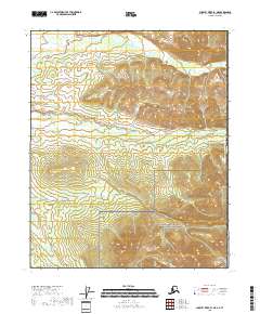
2018 · Charley River B-1 NE
USGS Topo · 1:25,000
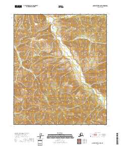
2018 · Charley River A-1 NW
USGS Topo · 1:25,000
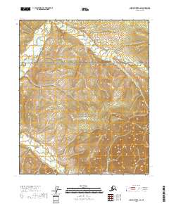
2018 · Charley River B-1 SW
USGS Topo · 1:25,000