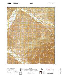
2018 Map of Charley River B-1 SW
USGS Topo · Published 2018About this map
The Yukon-Charley Rivers National Preserve dominates this section of the Alaskan interior, protecting a wilderness landscape defined by the drainage of the Nation River. Flowing through the northern portion of the sheet, the river is joined by seasonal tributaries including Waterfall Cr and Hard Luck Cr. The terrain is characterized by significant elevation changes, with ridges and drainage basins mapped under the Public Land Survey System grids of t6n r30e and t5n r31e. This 2018 survey provides an exacting look at the hydrological network and topography of this remote subarctic region before more recent environmental shifts, documenting the precise flow of creeks that feed into the larger Yukon River watershed.
Find a feature on this map
8 named features on this map. Tap any name to fly to it.
Don’t see what you’re looking for? This feature index may not catch every label — zoom into the map to look around manually.
Map Details
Editions of this 2018 Charley River B-1 SW Map
This is the sole edition of this map. No revisions or reprints were ever made.
Other maps of this area

1951 · Charley River
USGS Topo · 1:250,000
1956 · Charley River B-1
USGS Topo · 1:63,360

1956 · Charley River B-2
USGS Topo · 1:63,360

1956 · Charley River A-2
USGS Topo · 1:63,360

1956 · Charley River A-1
USGS Topo · 1:63,360

1956 · Charley River
USGS Topo · 1:250,000
2018 · Charley River B-1 SE
USGS Topo · 1:25,000
2018 · Charley River A-2 NE
USGS Topo · 1:25,000
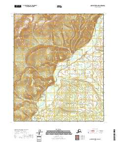
2018 · Charley River B-1 NW
USGS Topo · 1:25,000
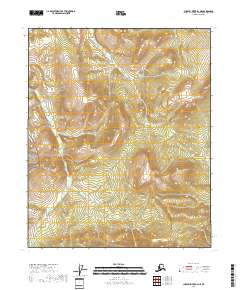
2018 · Charley River B-2 NE
USGS Topo · 1:25,000