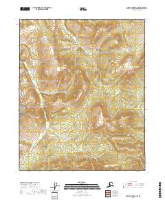
2018 Map of Charley River B-2 NE
USGS Topo · Published 2018About this map
The Yukon-Charley Rivers National Preserve encompasses the majority of this interior landscape, preserving a wilderness where the topography rises toward the Step Mountains in the northeast. This 2018 survey documents a region defined by complex drainage patterns and elevation changes, illustrating the transition between high ridges and lower basin wetlands. The lack of roads or established settlements emphasizes the remote character of this portion of the Southeast Fairbanks Census Area. Mapped boundaries for townships such as t8n r30e and t7n r29e provide a structural grid over the terrain, which is primarily characterized by the natural hydrology and topographical contours of the Yukon River watershed.
Find a feature on this map
8 named features on this map. Tap any name to fly to it.
Don’t see what you’re looking for? This feature index may not catch every label — zoom into the map to look around manually.
Map Details
Editions of this 2018 Charley River B-2 NE Map
This is the sole edition of this map. No revisions or reprints were ever made.
Other maps of this area

1951 · Charley River
USGS Topo · 1:250,000

1956 · Charley River C-2
USGS Topo · 1:63,360
1956 · Charley River C-1
USGS Topo · 1:63,360
1956 · Charley River B-1
USGS Topo · 1:63,360

1956 · Charley River B-2
USGS Topo · 1:63,360

1956 · Charley River
USGS Topo · 1:250,000
2018 · Charley River B-1 NW
USGS Topo · 1:25,000
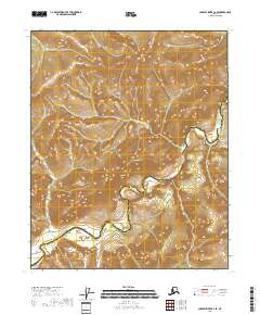
2018 · Charley River C-2 SE
USGS Topo · 1:25,000
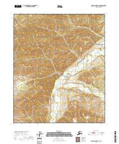
2018 · Charley River B-2 SE
USGS Topo · 1:25,000
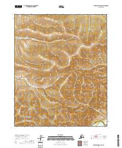
2018 · Charley River C-2 SW
USGS Topo · 1:25,000