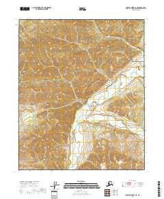
2018 Map of Charley River B-2 SE
USGS Topo · Published 2018About this map
Yukon-Charley Rivers National Preserve encompasses the entirety of this interior Alaskan landscape, dominated by the winding course of the Nation River. Flowing south to north, the river is the primary geographic feature, joined by the smaller Hard Luck Cr in the southeastern portion of the quadrangle. The map details a wilderness environment defined by significant elevation changes and intricate drainage patterns, characteristic of the upper Yukon River watershed. While the terrain is undeveloped, the survey provides a precise record of the natural topography and hydrologic network within these protected federal lands. The intersection of Township and Range boundaries, including t6n r30e and t5n r30e, provides a structural framework for understanding the land divisions in this part of the Southeast Fairbanks Census Area.
Find a feature on this map
7 named features on this map. Tap any name to fly to it.
Don’t see what you’re looking for? This feature index may not catch every label — zoom into the map to look around manually.
Map Details
Editions of this 2018 Charley River B-2 SE Map
This is the sole edition of this map. No revisions or reprints were ever made.
Other maps of this area

1951 · Charley River
USGS Topo · 1:250,000
1956 · Charley River B-1
USGS Topo · 1:63,360

1956 · Charley River B-2
USGS Topo · 1:63,360

1956 · Charley River A-2
USGS Topo · 1:63,360

1956 · Charley River A-1
USGS Topo · 1:63,360

1956 · Charley River
USGS Topo · 1:250,000
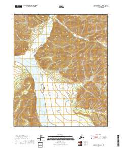
2018 · Charley River A-2 NE
USGS Topo · 1:25,000
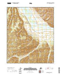
2018 · Charley River A-2 NW
USGS Topo · 1:25,000
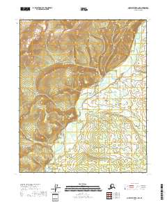
2018 · Charley River B-1 NW
USGS Topo · 1:25,000
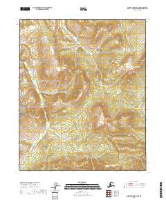
2018 · Charley River B-2 NE
USGS Topo · 1:25,000