
1956 Map of Charley River B-2
USGS Topo · Published 1960About this map
The Yukon River flows through the southwestern corner of this 1950s interior landscape, a region defined by its vast drainage systems and surveyor benchmarks. High points in the terrain are marked by various triangulation stations, including VABM Kah 2985, VABM 3118 Witch, and VABM 2931 Hard. Isolated cabins along the watercourses suggest the seasonal trapping and hunting patterns of the mid-century, while the network of the Kandik River and Charley River dominates the northern half of the sheet. Natural geological curiosities are noted as well, such as a named Pingo, reflecting the permafrost-driven geography of the eastern Alaska interior. The map also traces the winding courses of smaller tributaries like Hard Luck Creek and Biederman Creek as they feed into the larger Nation River system.
Find a feature on this map
14 named features on this map. Tap any name to fly to it.
Don’t see what you’re looking for? This feature index may not catch every label — zoom into the map to look around manually.
Map Details
Editions of this 1956 Charley River B-2 Map
This is the sole edition of this map. No revisions or reprints were ever made.
Other maps of this area

1951 · Charley River
USGS Topo · 1:250,000

1956 · Charley River C-2
USGS Topo · 1:63,360

1956 · Charley River B-3
USGS Topo · 1:63,360
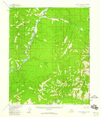
1956 · Charley River C-1
USGS Topo · 1:63,360
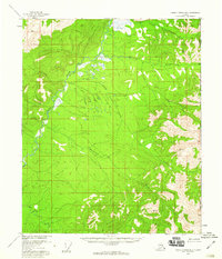
1956 · Charley River B-1
USGS Topo · 1:63,360

1956 · Charley River A-3
USGS Topo · 1:63,360

1956 · Charley River A-2
USGS Topo · 1:63,360
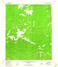
1956 · Charley River C-3
USGS Topo · 1:63,360

1956 · Charley River A-1
USGS Topo · 1:63,360

1956 · Charley River
USGS Topo · 1:250,000