
1956 Map of Charley River A-2
USGS Topo · Published 1960About this map
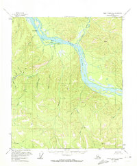
The Yukon River carves a massive northern arc through this interior landscape, defining the character of the eastern Alaskan wilderness in the mid-1950s. At the mouth of Fourth of July Creek, the small settlement of Nation sits as a lonely outpost of riverfront activity, flanked by several scattered cabins and a cabin further upstream. The area is defined by a dense network of gold-bearing drainages, where miners sought fortunes in the steep terrain of Lucky Gulch, Independence Gulch, and Union Gulch.
Find a feature on this map
20 named features on this map. Tap any name to fly to it.
Don’t see what you’re looking for? This feature index may not catch every label — zoom into the map to look around manually.
Map Details
Editions of this 1956 Charley River A-2 Map
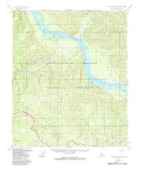
3 editions found
Other maps of this area

1899 · Fortymile
USGS Topo · 1:250,000

1951 · Charley River
USGS Topo · 1:250,000

1951 · Eagle
USGS Topo · 1:250,000

1956 · Charley River B-3
USGS Topo · 1:63,360
1956 · Charley River B-1
USGS Topo · 1:63,360

1956 · Charley River B-2
USGS Topo · 1:63,360

1956 · Charley River A-3
USGS Topo · 1:63,360

1956 · Charley River A-1
USGS Topo · 1:63,360

1956 · Charley River
USGS Topo · 1:250,000

1956 · Eagle D-2
USGS Topo · 1:63,360