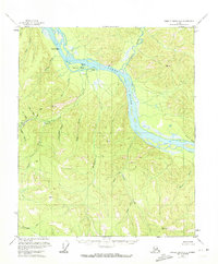
1956 Map of Charley River A-2
USGS Topo · Published 1972About this map
The Yukon River carves through a landscape of steep gulches and high ridges in this mid-century look at eastern Alaska. Near the confluence with the Nation River, the settlement of Nation (Aband) sits as a quiet landmark of past river activity, marked as abandoned by the time of the survey. The terrain is defined by dramatic geologic features like Rock of Ages and the prominent Nation Reef, which would have been critical navigational points for river travel.
Find a feature on this map
33 named features on this map. Tap any name to fly to it.
Don’t see what you’re looking for? This feature index may not catch every label — zoom into the map to look around manually.
Map Details
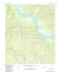
Editions of this 1956 Charley River A-2 Map
3 editions found
Other maps of this area

1899 · Fortymile
USGS Topo · 1:250,000

1951 · Charley River
USGS Topo · 1:250,000

1951 · Eagle
USGS Topo · 1:250,000

1956 · Charley River B-3
USGS Topo · 1:63,360
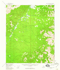
1956 · Charley River B-1
USGS Topo · 1:63,360

1956 · Charley River B-2
USGS Topo · 1:63,360

1956 · Charley River A-3
USGS Topo · 1:63,360

1956 · Charley River A-2
USGS Topo · 1:63,360

1956 · Charley River A-1
USGS Topo · 1:63,360

1956 · Charley River
USGS Topo · 1:250,000