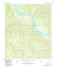
1956 Map of Charley River A-2
USGS Topo · Published 1985About this map
The Yukon River carves a deep path through this interior Alaska landscape, serving as the primary corridor for movement and early settlement. Near the confluence of Fourth of July Creek and the main river, the historic settlement of Nation and the nearby Nation (Site) indicate the area's importance during the mid-20th century. Local mining activity is evidenced by a Mine and an associated Ditch located near Washington Creek, showing how prospectors utilized the terrain and water flow for resource extraction.
Find a feature on this map
32 named features on this map. Tap any name to fly to it.
Don’t see what you’re looking for? This feature index may not catch every label — zoom into the map to look around manually.
Map Details
Editions of this 1956 Charley River A-2 Map
3 editions found
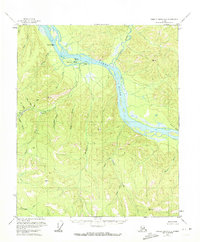
Other maps of this area

1899 · Fortymile
USGS Topo · 1:250,000

1951 · Charley River
USGS Topo · 1:250,000

1951 · Eagle
USGS Topo · 1:250,000

1956 · Charley River B-3
USGS Topo · 1:63,360
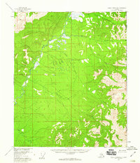
1956 · Charley River B-1
USGS Topo · 1:63,360

1956 · Charley River B-2
USGS Topo · 1:63,360

1956 · Charley River A-3
USGS Topo · 1:63,360

1956 · Charley River A-2
USGS Topo · 1:63,360

1956 · Charley River A-1
USGS Topo · 1:63,360

1956 · Charley River
USGS Topo · 1:250,000