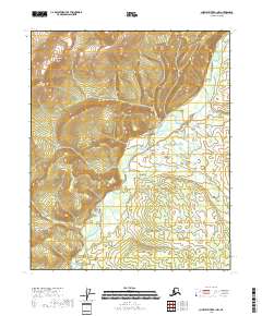
2018 Map of Charley River B-1 NW
USGS Topo · Published 2018About this map
The Step Mountains dominate the northwestern terrain of this sub-arctic landscape, providing a high-relief backdrop to the winding course of the Nation River. This river system dictates the topography of the region, carving through the township and range divisions of Southeast Fairbanks. The map illustrates a complex network of wetlands and seasonal drainages that fed into the primary waterway, revealing the natural hydrology of the eastern interior before significant modern development. The absence of roads or permanent structures reflects the wilderness character of this area near the Charley River, where the landscape remains defined by its natural watercourses and the steady elevation gains toward the mountain peaks.
Find a feature on this map
8 named features on this map. Tap any name to fly to it.
Don’t see what you’re looking for? This feature index may not catch every label — zoom into the map to look around manually.
Map Details
Editions of this 2018 Charley River B-1 NW Map
This is the sole edition of this map. No revisions or reprints were ever made.
Other maps of this area

1951 · Charley River
USGS Topo · 1:250,000

1956 · Charley River C-2
USGS Topo · 1:63,360
1956 · Charley River C-1
USGS Topo · 1:63,360
1956 · Charley River B-1
USGS Topo · 1:63,360

1956 · Charley River B-2
USGS Topo · 1:63,360

1956 · Charley River
USGS Topo · 1:250,000
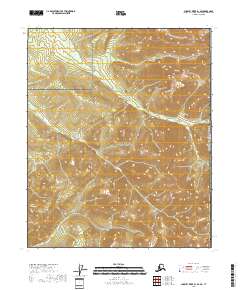
2018 · Charley River B-1 SE
USGS Topo · 1:25,000
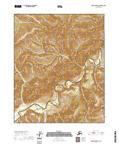
2018 · Charley River C-2 SE
USGS Topo · 1:25,000
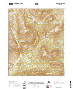
2018 · Charley River B-2 NE
USGS Topo · 1:25,000
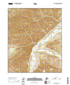
2018 · Charley River B-2 SE
USGS Topo · 1:25,000