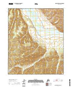
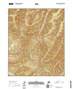
2018 Map of Charley River A-2 NW
USGS Topo · Published 2018About this map
Yukon-Charley Rivers National Preserve dominates this portion of the interior, where the Yukon River carves through a landscape defined by significant geologic formations and gold-era drainage names. The map highlights distinct river landmarks such as Rock of Ages and the Nation Reef, which have long served as navigational markers for river travelers. A dense network of narrow drainages and gulches, including Fourth of July Creek, Coal Cr, and Independence Gulch, points to the region's history of mineral prospecting. The naming convention of the various gulches—ranging from Seven Gulch and Eight Gulch to Ten Gulch and Thirteen Gulch—reflects a systematic approach to exploration along the tributaries of Fourth of July Cr.
Find a feature on this map
22 named features on this map. Tap any name to fly to it.
Don’t see what you’re looking for? This feature index may not catch every label — zoom into the map to look around manually.
Map Details
Editions of this 2018 Charley River A-2 NW Map
This is the sole edition of this map. No revisions or reprints were ever made.
Other maps of this area

1951 · Charley River
USGS Topo · 1:250,000

1956 · Charley River B-3
USGS Topo · 1:63,360

1956 · Charley River B-2
USGS Topo · 1:63,360

1956 · Charley River A-3
USGS Topo · 1:63,360

1956 · Charley River A-2
USGS Topo · 1:63,360

1956 · Charley River
USGS Topo · 1:250,000
2018 · Charley River A-2 NE
USGS Topo · 1:25,000
2018 · Charley River B-3 SE
USGS Topo · 1:25,000
2018 · Charley River A-2 SE
USGS Topo · 1:25,000
2018 · Charley River A-3 NE
USGS Topo · 1:25,000