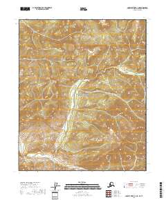
2018 Map of Charley River A-1 NE
USGS Topo · Published 2018About this map
Yukon-Charley Rivers National Preserve covers the central portion of this wilderness landscape along the international boundary between Alaska and Yukon. The terrain is defined by dramatic elevation changes, notably at Three Castle Mtn, which stands as a prominent landmark in the western half of the sheet. Watercourses including Hard Luck Cr and Pleasant Cr drain through the valley systems, indicating the natural drainage patterns of this remote interior region. This 2018 survey illustrates the vast, undeveloped character of the Canada-United States border as it existed in the early 21st century, providing an essential record of the topography and protected lands within the Southeast Fairbanks Census Area.
Find a feature on this map
10 named features on this map. Tap any name to fly to it.
Don’t see what you’re looking for? This feature index may not catch every label — zoom into the map to look around manually.
Map Details
Editions of this 2018 Charley River A-1 NE Map
This is the sole edition of this map. No revisions or reprints were ever made.
Other maps of this area

1951 · Charley River
USGS Topo · 1:250,000
1956 · Charley River B-1
USGS Topo · 1:63,360

1956 · Charley River A-1
USGS Topo · 1:63,360

1956 · Charley River
USGS Topo · 1:250,000
2018 · Charley River B-1 SE
USGS Topo · 1:25,000
2018 · Charley River A-1 SW
USGS Topo · 1:25,000
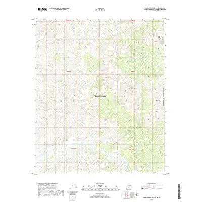
2018 · Charley River A-1 SE
USGS Topo · 1:25,000
2018 · Charley River A-1 NW
USGS Topo · 1:25,000
2018 · Charley River B-1 SW
USGS Topo · 1:25,000
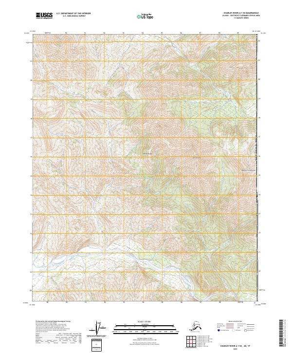
2023 · Charley River A-1 SE
USGS Topo · 1:25,000