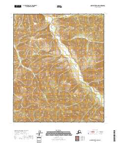
2018 Map of Charley River A-1 NW
USGS Topo · Published 2018About this map
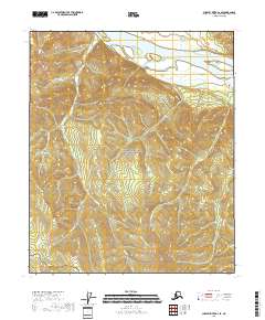
Yukon-Charley Rivers National Preserve dominates the landscape of the Southeast Fairbanks Census Area in this 2018 topographic survey. The terrain is defined by its complex drainage network, most notably Hard Luck Cr, which winds through the interior. This specific quadrangle captures a period of modern land management where conservation boundaries intersect with the established Public Land Survey System, including t5n r31e and t4n r31e. The map serves as a precise record of the interior Alaskan topography, showing the high-elevation ridges and the precise course of seasonal and perennial waterways as they existed in the late twenty-first century.
Find a feature on this map
6 named features on this map. Tap any name to fly to it.
Don’t see what you’re looking for? This feature index may not catch every label — zoom into the map to look around manually.
Map Details
Editions of this 2018 Charley River A-1 NW Map
This is the sole edition of this map. No revisions or reprints were ever made.
Other maps of this area

1951 · Charley River
USGS Topo · 1:250,000
1956 · Charley River B-1
USGS Topo · 1:63,360

1956 · Charley River B-2
USGS Topo · 1:63,360

1956 · Charley River A-2
USGS Topo · 1:63,360

1956 · Charley River A-1
USGS Topo · 1:63,360

1956 · Charley River
USGS Topo · 1:250,000
2018 · Charley River B-1 SE
USGS Topo · 1:25,000
2018 · Charley River A-2 NE
USGS Topo · 1:25,000
2018 · Charley River A-2 SE
USGS Topo · 1:25,000
2018 · Charley River A-1 NE
USGS Topo · 1:25,000