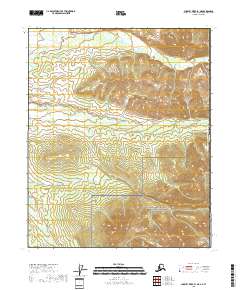
2018 Map of Charley River B-1 NE
USGS Topo · Published 2018About this map
Yukon-Charley Rivers National Preserve dominates this portion of the Alaskan interior, located at the international boundary between the Canada United States of America. The landscape is defined by the drainage of Jungle Cr, which winds through the northern sections of the map. This 2018 survey reveals a terrain largely devoid of permanent human settlements or road infrastructure, characteristic of the protected wilderness areas in the Southeast Fairbanks Census Area.
Find a feature on this map
12 named features on this map. Tap any name to fly to it.
Don’t see what you’re looking for? This feature index may not catch every label — zoom into the map to look around manually.
Map Details
Editions of this 2018 Charley River B-1 NE Map
This is the sole edition of this map. No revisions or reprints were ever made.
Other maps of this area

1951 · Charley River
USGS Topo · 1:250,000
1956 · Charley River C-1
USGS Topo · 1:63,360
1956 · Charley River B-1
USGS Topo · 1:63,360

1956 · Charley River
USGS Topo · 1:250,000
2018 · Charley River B-1 SE
USGS Topo · 1:25,000
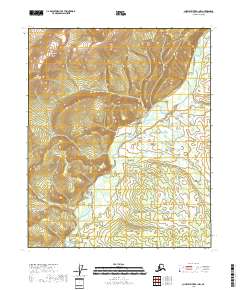
2018 · Charley River B-1 NW
USGS Topo · 1:25,000
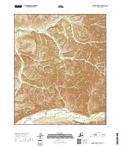
2018 · Charley River C-1 SE
USGS Topo · 1:25,000
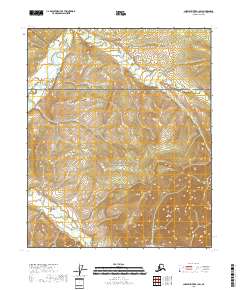
2018 · Charley River B-1 SW
USGS Topo · 1:25,000
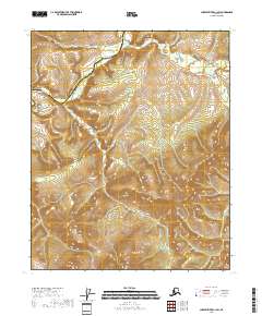
2018 · Charley River C-1 SW
USGS Topo · 1:25,000