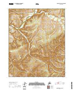
2018 Map of Charley River C-1 SW
USGS Topo · Published 2018About this map
The Kandik River winds through the northwestern corner of this interior Alaskan landscape, defining the topographic character of the region. This 2018 survey depicts a remote wilderness area primarily divided by the boundary between the Yukon-Koyukuk Census Area and the Southeast Fairbanks Census Area. The terrain is marked by high elevations and significant drainage systems, including the headwaters of Indian Grave Cr in the northeast. The absence of roads or established settlements on this sheet emphasizes its status as a primitive backcountry environment within the Charley River region. Detailed contour lines and public land survey markers for t9n r30e and t9n r31e provide precise mapping for a landscape defined by its river valleys and high ridgelines.
Find a feature on this map
7 named features on this map. Tap any name to fly to it.
Don’t see what you’re looking for? This feature index may not catch every label — zoom into the map to look around manually.
Map Details
Editions of this 2018 Charley River C-1 SW Map
This is the sole edition of this map. No revisions or reprints were ever made.
Other maps of this area

1951 · Charley River
USGS Topo · 1:250,000

1956 · Charley River C-2
USGS Topo · 1:63,360
1956 · Charley River C-1
USGS Topo · 1:63,360
1956 · Charley River B-1
USGS Topo · 1:63,360

1956 · Charley River B-2
USGS Topo · 1:63,360

1956 · Charley River
USGS Topo · 1:250,000
2018 · Charley River C-1 NE
USGS Topo · 1:25,000
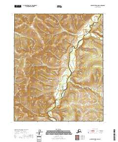
2018 · Charley River C-1 NW
USGS Topo · 1:25,000
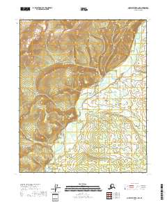
2018 · Charley River B-1 NW
USGS Topo · 1:25,000
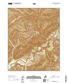
2018 · Charley River C-2 SE
USGS Topo · 1:25,000