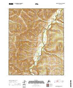
2018 Map of Charley River C-1 NW
USGS Topo · Published 2018About this map
The Kandik River serves as the central geographic feature of this 2018 survey, carving a winding path through a landscape defined by sharp elevation shifts and interior Alaskan water systems. Located along the jurisdictional boundary between the Yukon-Koyukuk Census Area and the Southeast Fairbanks Census Area, the map illustrates a remote terrain where human infrastructure is largely absent in favor of natural topography. The river's meanders, recorded by the U.S. Geological Survey using 2018 National Elevation Dataset contours, reveal the complex drainage patterns of this subarctic environment. The presence of the census area boundary line cutting across the river valley provides a clear marker for researchers and land managers studying the intersection of natural waterways and administrative borders in the Alaskan interior.
Find a feature on this map
8 named features on this map. Tap any name to fly to it.
Don’t see what you’re looking for? This feature index may not catch every label — zoom into the map to look around manually.
Map Details
Editions of this 2018 Charley River C-1 NW Map
This is the sole edition of this map. No revisions or reprints were ever made.
Other maps of this area

1951 · Charley River
USGS Topo · 1:250,000

1956 · Charley River C-2
USGS Topo · 1:63,360
1956 · Charley River C-1
USGS Topo · 1:63,360

1956 · Charley River D-2
USGS Topo · 1:63,360
1956 · Charley River D-1
USGS Topo · 1:63,360

1956 · Charley River
USGS Topo · 1:250,000
2018 · Charley River D-1 SW
USGS Topo · 1:25,000
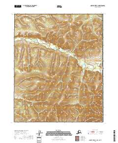
2018 · Charley River C-1 NE
USGS Topo · 1:25,000
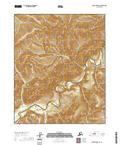
2018 · Charley River C-2 SE
USGS Topo · 1:25,000
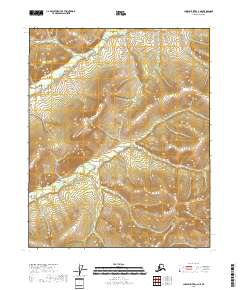
2018 · Charley River C-2 NE
USGS Topo · 1:25,000