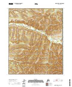
2018 Map of Charley River C-1 NE
USGS Topo · Published 2018About this map
The United States of America Canada border defines the eastern edge of this interior Alaskan landscape, marking a remote frontier where the Charley River watershed meets the Yukon Territory. This terrain is characterized by a dense network of high ridges and narrow drainages, documented through precise contour intervals that illustrate the complex topography of the Southeast Fairbanks Census Area. Organized by the Public Land Survey System, the sheet covers several townships including T11n R32e, T10n R32e, and T9n R32e. The absence of named settlements or roads underscores the wilderness character of the region, emphasizing the natural landforms that dictate movement and drainage patterns along the international boundary line.
Find a feature on this map
7 named features on this map. Tap any name to fly to it.
Don’t see what you’re looking for? This feature index may not catch every label — zoom into the map to look around manually.
Map Details
Editions of this 2018 Charley River C-1 NE Map
This is the sole edition of this map. No revisions or reprints were ever made.
Other maps of this area

1951 · Charley River
USGS Topo · 1:250,000
1956 · Charley River C-1
USGS Topo · 1:63,360
1956 · Charley River D-1
USGS Topo · 1:63,360

1956 · Charley River
USGS Topo · 1:250,000
2018 · Charley River D-1 SW
USGS Topo · 1:25,000
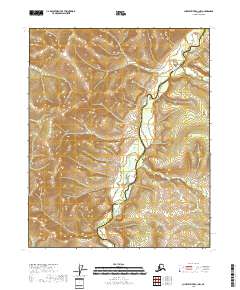
2018 · Charley River C-1 NW
USGS Topo · 1:25,000
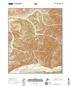
2018 · Charley River C-1 SE
USGS Topo · 1:25,000
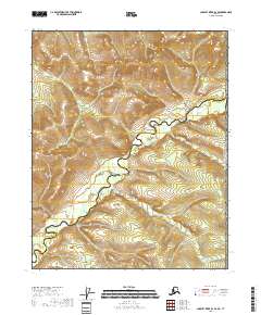
2018 · Charley River D-1 SE
USGS Topo · 1:25,000
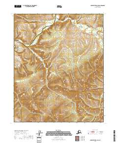
2018 · Charley River C-1 SW
USGS Topo · 1:25,000