
1956 Map of Charley River D-2
USGS Topo · Published 1960About this map
Wood River meanders through this interior Alaskan wilderness, as documented during the mid-1950s. This survey, mapped from aerial photography, captures a landscape defined by high-latitude permafrost features and hydrological patterns in the Charley River quadrangle. A distinct geologic highlight is the presence of a Pingo, an ice-cored mound common in the Arctic, which serves as a landmark amidst the intricate network of swampy lowlands and ridges. The map reflects a period of systematic surveying by the Geological Survey and the Bureau of Land Management to define predetermined, though unsurveyed, land lines across the territory's remote northern stretches.
Find a feature on this map
2 named features on this map. Tap any name to fly to it.
Don’t see what you’re looking for? This feature index may not catch every label — zoom into the map to look around manually.
Map Details
Editions of this 1956 Charley River D-2 Map
This is the sole edition of this map. No revisions or reprints were ever made.
Other maps of this area

1951 · Charley River
USGS Topo · 1:250,000

1951 · Black River
USGS Topo · 1:250,000
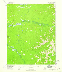
1956 · Black River A-1
USGS Topo · 1:63,360

1956 · Black River A-2
USGS Topo · 1:63,360

1956 · Black River A-3
USGS Topo · 1:63,360

1956 · Charley River C-2
USGS Topo · 1:63,360

1956 · Charley River D-3
USGS Topo · 1:63,360
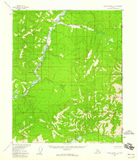
1956 · Charley River C-1
USGS Topo · 1:63,360

1956 · Black River
USGS Topo · 1:250,000
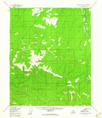
1956 · Charley River C-3
USGS Topo · 1:63,360