
1956 Map of Black River A-2
USGS Topo · Published 1959About this map
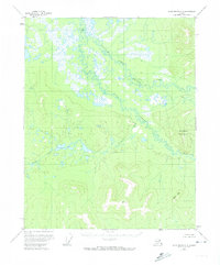
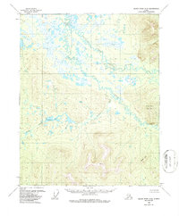
Grailing Fork Black River defines the drainage of this interior landscape, where complex networks of wetlands and ponds give way to the prominent elevations of the eastern mountains. Recorded in the mid-1950s, the map highlights the isolation of this region, marked only by the presence of isolated Cabins along the riverbanks. The terrain transitions from the marshy lowlands surrounding Vunvebottlui Lake to the significant heights of Steamboat Mountain and Rocky Mtn. Tributaries like Bull Creek and Dempsey Creek cut through the topography, illustrating the natural watercourses that dictated travel and subsistence in this part of the Yukon-Koyukuk region before any modern infrastructure reached the area.
Find a feature on this map
7 named features on this map. Tap any name to fly to it.
Don’t see what you’re looking for? This feature index may not catch every label — zoom into the map to look around manually.
Map Details
Editions of this 1956 Black River A-2 Map
3 editions found
Other maps of this area

1951 · Charley River
USGS Topo · 1:250,000

1951 · Black River
USGS Topo · 1:250,000
1956 · Black River A-1
USGS Topo · 1:63,360

1956 · Black River B-3
USGS Topo · 1:63,360

1956 · Black River B-2
USGS Topo · 1:63,360

1956 · Black River B-1
USGS Topo · 1:63,360

1956 · Black River A-3
USGS Topo · 1:63,360

1956 · Charley River D-3
USGS Topo · 1:63,360

1956 · Black River
USGS Topo · 1:250,000

1956 · Charley River D-2
USGS Topo · 1:63,360