
1956 Map of Black River B-3
USGS Topo · Published 1959About this map
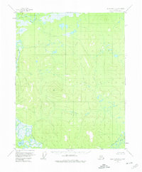
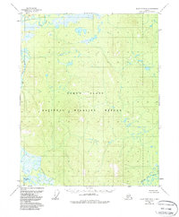
Whitefish Lake sits at the southwestern edge of this interior landscape, where the Black River meanders through an intricate system of sloughs and ponds. This 1956 field study, based on 1955 aerial photography, reveals a wilderness shaped by the hydrology of the Salmon Fork Black River in the north and the Grayling Fork Black River in the southeast. The terrain rises from these river lowlands to prominent high points like VABM Orange 2141, a triangulation station used for the survey. A distinct geological or topographical feature known as The Reef stands near the western bend of the main river, marking a sharp contrast in the local relief. The absence of roads or trails highlights the isolation of this region during the mid-20th century, where movement was dictated entirely by the watercourses.
Find a feature on this map
6 named features on this map. Tap any name to fly to it.
Don’t see what you’re looking for? This feature index may not catch every label — zoom into the map to look around manually.
Map Details
Editions of this 1956 Black River B-3 Map
3 editions found
Other maps of this area

1951 · Black River
USGS Topo · 1:250,000

1956 · Black River A-2
USGS Topo · 1:63,360

1956 · Black River A-4
USGS Topo · 1:63,360

1956 · Black River B-2
USGS Topo · 1:63,360

1956 · Black River A-3
USGS Topo · 1:63,360

1956 · Black River B-4
USGS Topo · 1:63,360

1956 · Black River C-2
USGS Topo · 1:63,360

1956 · Black River C-4
USGS Topo · 1:63,360

1956 · Black River C-3
USGS Topo · 1:63,360

1956 · Black River
USGS Topo · 1:250,000