
1956 Map of Black River B-4
USGS Topo · Published 1959About this map
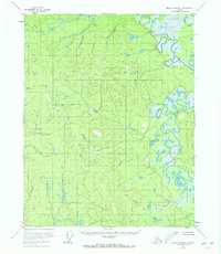
The Black River meanders through an intricate landscape of oxbow lakes and wetlands in the northeastern Alaskan interior. Surveyed in the mid-1950s, this area is defined by its complex hydrology, where the river creates a wide floodplain filled with features like Salmon Slough. Notable water bodies such as Birch Lake and Tommy Lake sit among the myriad of unnamed ponds and marshes that characterize the Yukon-Koyukuk region. In the southeast corner, a small cluster of Cabins represents a rare point of human infrastructure in this wilderness, likely serving as seasonal shelter for trapping or hunting. The map illustrates a world where water dictates movement and settlement, largely untouched by the roads or established towns found further south.
Find a feature on this map
5 named features on this map. Tap any name to fly to it.
Don’t see what you’re looking for? This feature index may not catch every label — zoom into the map to look around manually.
Map Details
Editions of this 1956 Black River B-4 Map
2 editions found
Other maps of this area

1951 · Black River
USGS Topo · 1:250,000

1956 · Black River A-4
USGS Topo · 1:63,360

1956 · Black River B-5
USGS Topo · 1:63,360

1956 · Black River B-3
USGS Topo · 1:63,360

1956 · Black River A-3
USGS Topo · 1:63,360

1956 · Black River C-5
USGS Topo · 1:63,360

1956 · Black River C-4
USGS Topo · 1:63,360

1956 · Black River C-3
USGS Topo · 1:63,360
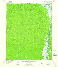
1956 · Black River A-5
USGS Topo · 1:63,360

1956 · Black River
USGS Topo · 1:250,000