
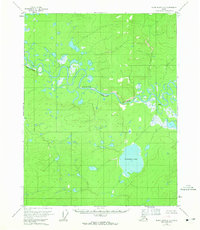
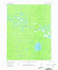
1956 Map of Black River C-5
USGS Topo · Published 1959About this map
The Black River meanders across this northern landscape, defining a remote interior region of Alaska as it was documented in the mid-1950s. The river's winding course is marked by distinct navigational points such as Deadman Ripple and is overlooked by the prominent Red Bluff. This specific survey period captures the terrain just as photogrammetric methods were beginning to refine the mapping of the Yukon-Koyukuk area, revealing a vast network of ponds and unnamed wetlands surrounding the larger Tiinkdhul Lake. Evidence of human presence is sparse but specific, centered on the Doghouse Cabin located along the riverbank. This isolated structure and the named water feature Dahteh provide rare reference points for researchers studying the historical land use and travel routes through this interior wilderness before modern infrastructure arrived.
Find a feature on this map
6 named features on this map. Tap any name to fly to it.
Don’t see what you’re looking for? This feature index may not catch every label — zoom into the map to look around manually.
Map Details
Editions of this 1956 Black River C-5 Map
3 editions found
Other maps of this area

1951 · Black River
USGS Topo · 1:250,000

1956 · Black River B-6
USGS Topo · 1:63,360

1956 · Black River D-6
USGS Topo · 1:63,360

1956 · Black River B-5
USGS Topo · 1:63,360

1956 · Black River D-4
USGS Topo · 1:63,360

1956 · Black River D-5
USGS Topo · 1:63,360

1956 · Black River C-6
USGS Topo · 1:63,360

1956 · Black River B-4
USGS Topo · 1:63,360

1956 · Black River C-4
USGS Topo · 1:63,360

1956 · Black River
USGS Topo · 1:250,000