
1956 Map of Black River C-6
USGS Topo · Published 1959About this map
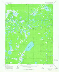
The Black River meanders in dense, complex oxbows through this interior Alaskan wilderness, defining the landscape around the settlement of Chalkyitsik. Mapped from aerial photography in the mid-1950s, the terrain is a labyrinth of water and marsh, characterized by numerous named bodies such as Chahalie Lake, Big Timber Lake, and the expansive Ohtig Lake. The presence of an Airstrip near Chalkyitsik Slough and a north-south Tractor Trail highlights the remote nature of transportation in this region, where the river and seasonal overland routes were the primary means of movement.
Find a feature on this map
18 named features on this map. Tap any name to fly to it.
Don’t see what you’re looking for? This feature index may not catch every label — zoom into the map to look around manually.
Map Details
Editions of this 1956 Black River C-6 Map
3 editions found
Other maps of this area

1951 · Fort Yukon
USGS Topo · 1:250,000

1951 · Black River
USGS Topo · 1:250,000

1956 · Fort Yukon C-1
USGS Topo · 1:63,360

1956 · Black River B-6
USGS Topo · 1:63,360

1956 · Black River D-6
USGS Topo · 1:63,360

1956 · Black River B-5
USGS Topo · 1:63,360

1956 · Black River D-5
USGS Topo · 1:63,360

1956 · Fort Yukon B-1
USGS Topo · 1:63,360

1956 · Black River C-5
USGS Topo · 1:63,360
1956 · Fort Yukon D-1
USGS Topo · 1:63,360