
1956 Map of Black River B-6
USGS Topo · Published 1959About this map
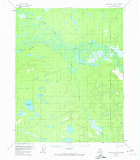
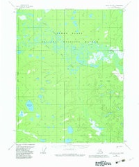
Grass River and the Little Black River dominate this interior Alaska landscape, weaving through a dense network of marshes and oxbows. The intricate hydrology of the region is further defined by the Vunle Lakes in the north and the isolated Mardow Lake to the southwest. This 1950s survey captures a transition in northern transportation, where traditional water routes like the Sucker River and Big Creek are supplemented by primitive Tractor Trails cutting across the upland areas. These trails represent the primary overland infrastructure of the era, connecting the remote drainage basins of Tiechovun Lake with the broader river systems that served as the lifelines for movement through the Yukon-Koyukuk region.
Find a feature on this map
8 named features on this map. Tap any name to fly to it.
Don’t see what you’re looking for? This feature index may not catch every label — zoom into the map to look around manually.
Map Details
Editions of this 1956 Black River B-6 Map
3 editions found
Other maps of this area

1951 · Fort Yukon
USGS Topo · 1:250,000

1951 · Black River
USGS Topo · 1:250,000

1956 · Fort Yukon C-1
USGS Topo · 1:63,360

1956 · Black River B-5
USGS Topo · 1:63,360

1956 · Black River C-6
USGS Topo · 1:63,360

1956 · Fort Yukon B-1
USGS Topo · 1:63,360

1956 · Black River C-5
USGS Topo · 1:63,360

1956 · Fort Yukon A-1
USGS Topo · 1:63,360

1956 · Black River A-6
USGS Topo · 1:63,360
1956 · Black River A-5
USGS Topo · 1:63,360